United States President Donald Trump’s executive orders have crept into the realm of digital cartography. Google announced on Monday that its online mapping platform, Google Maps, will change the name of the Gulf of Mexico to the Gulf of America for users in the US.
Additionally, Google Maps will change the name of North America’s tallest peak, Mount Denali, to Mount McKinley. These changes will be reflected on the platform once they are made officially by the US government.
Here’s how Google has dealt with places with disputed names in the past, and how the new change will work:
On the day of his inauguration on January 20, Trump signed 26 executive orders. One of these orders renames the Gulf of Mexico to the Gulf of America, and Mount Denali to Mount McKinley.
The Gulf of Mexico is a water body, bound by Cuba, eastern states in Mexico: Tamaulipas, Veracruz, Tabasco, Campeche, Yucatan and Quintana Roo; and states on the Gulf Coast of the United States: Texas, Louisiana, Mississippi, Alabama and Florida.
The snow-capped Mount Denali in Alaska is the highest mountain in North America at an elevation of 6,190 metres (20,308 feet).
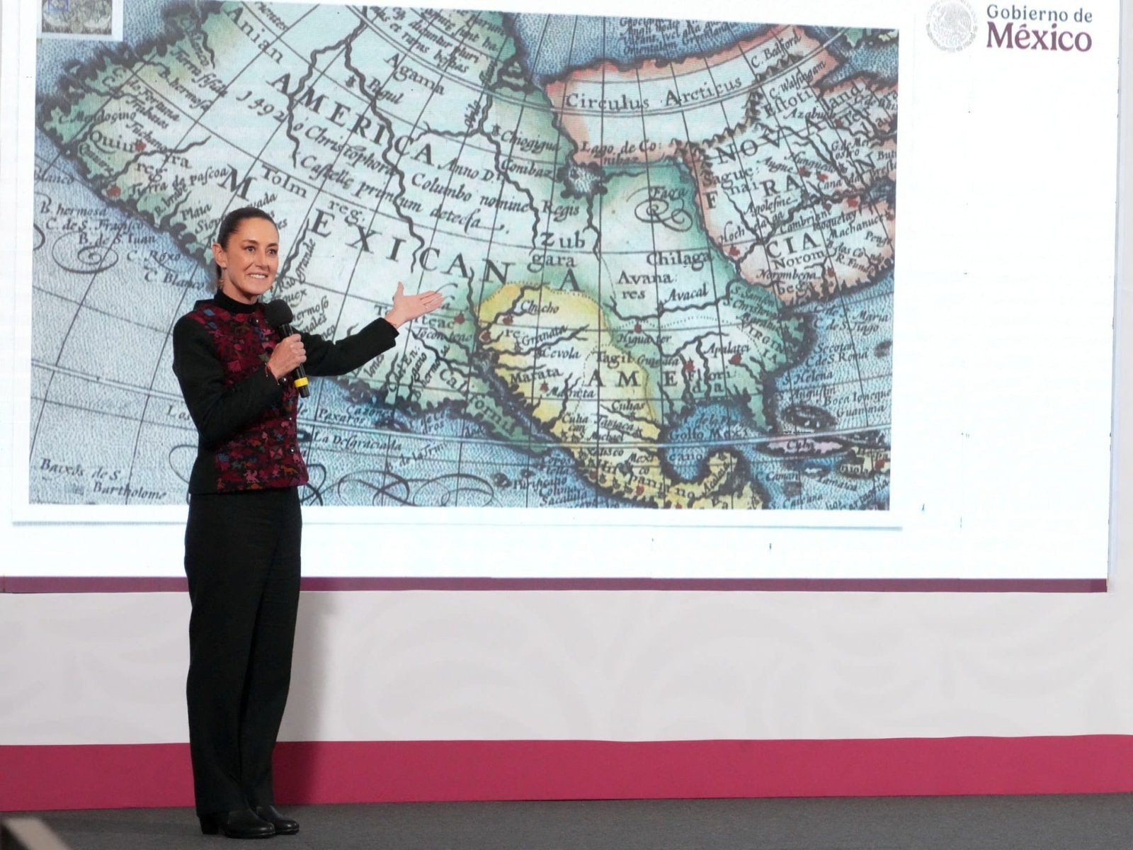
The Gulf of Mexico has had its name for about 400 years. In his book, The Principall Navigations, Voiages and Discoveries of the English Nation, published in 1589, English geographer Richard Hakluyt calls the water body “Gulfe of Mexico”. In Mexico, the gulf is also called by its Spanish name, El Golfo de Mexico.
Trump can rename the Gulf of Mexico for his domestic audience, but the rest of the world does not have to go with that name change, since there are no international laws that decide what a common maritime space or a disputed territory is called universally.
Renaming Mount Denali is more straightforward since it is part of US territory. Trump wishes to rename the mountain Mount McKinley after former Republican William McKinley, who was president from 1897 to 1901, and never visited Alaska.


 United Arab Emirates Dirham Exchange Rate